
GPS fleet management in Madagascar.
Centralize vehicles, drivers, alerts, reports and maintenance in one operational tracking platform.
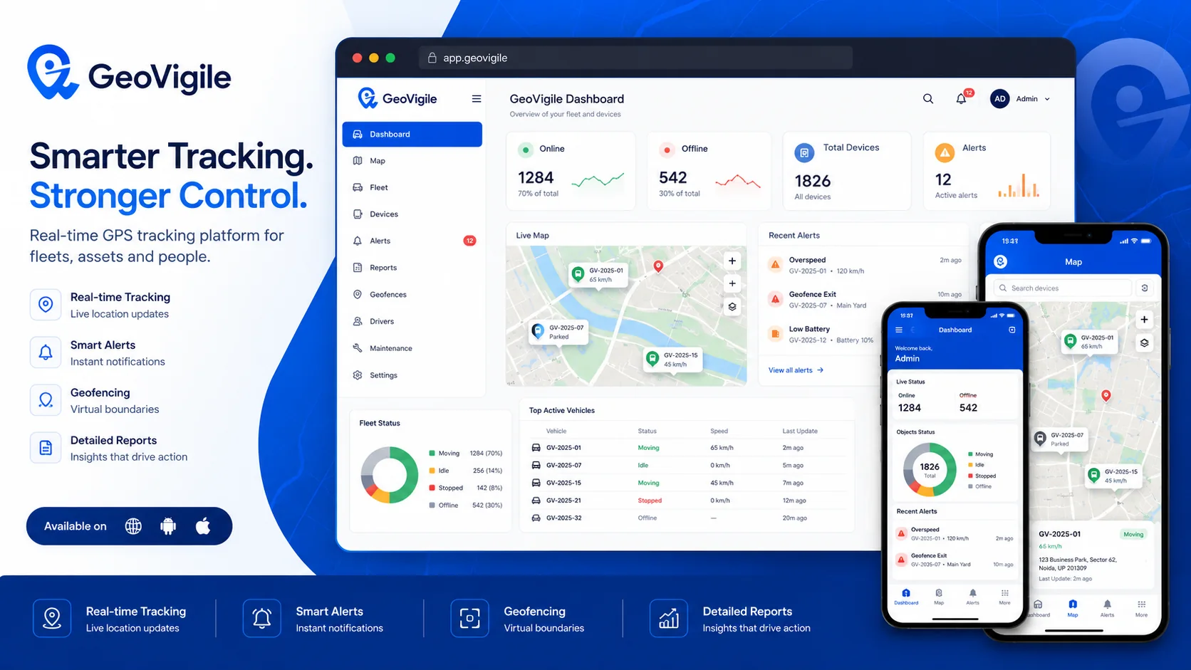
Turn tracking data into operational visibility.
GeoVigile combines connected devices, live maps, alerts, history and fleet tools around the requirements of each operation.
Central fleet view
Positions, status and events in one dashboard.
Drivers & users
Assignments, profiles and role-based access.
Advanced reports
Distance, stops, speed, activity and configurable indicators.
Maintenance
Reminders, due dates and service history.
Fuel monitoring
Compatible sensors or integrations for dedicated projects.
Zones & alerts
Automate monitoring of depots, sites and operating areas.
From field requirements to an operational tracking setup.
Define the use case
Vehicles, equipment, assets, operating zones and required visibility.
Select hardware
Validate network, power source, autonomy and required accessories.
Configure GeoVigile
Set users, alerts, zones, reports and permissions.
Deploy & monitor
Install, test and use tracking data in daily operations.
Explore related GPS use cases.
Frequently asked questions
Can GeoVigile manage multiple vehicles?
Yes. The platform is designed to centralize multiple vehicles, devices and users with role-based access.
Can drivers be assigned to vehicles?
Driver assignment and related analysis can be configured when supported by the deployment.
Can maintenance be scheduled?
Maintenance reminders and service history can be used depending on platform configuration.
Can GeoVigile integrate with other systems?
Project-specific API and webhook integrations can be implemented around available data.
Planning a GPS tracking project in Madagascar?
Tell us what you need to track, where it operates and which events matter. We can recommend a suitable configuration.