
Vehicle tracking in Madagascar.
Track company cars, service vehicles and utility vehicles with live location, route history, zones and configurable alerts.
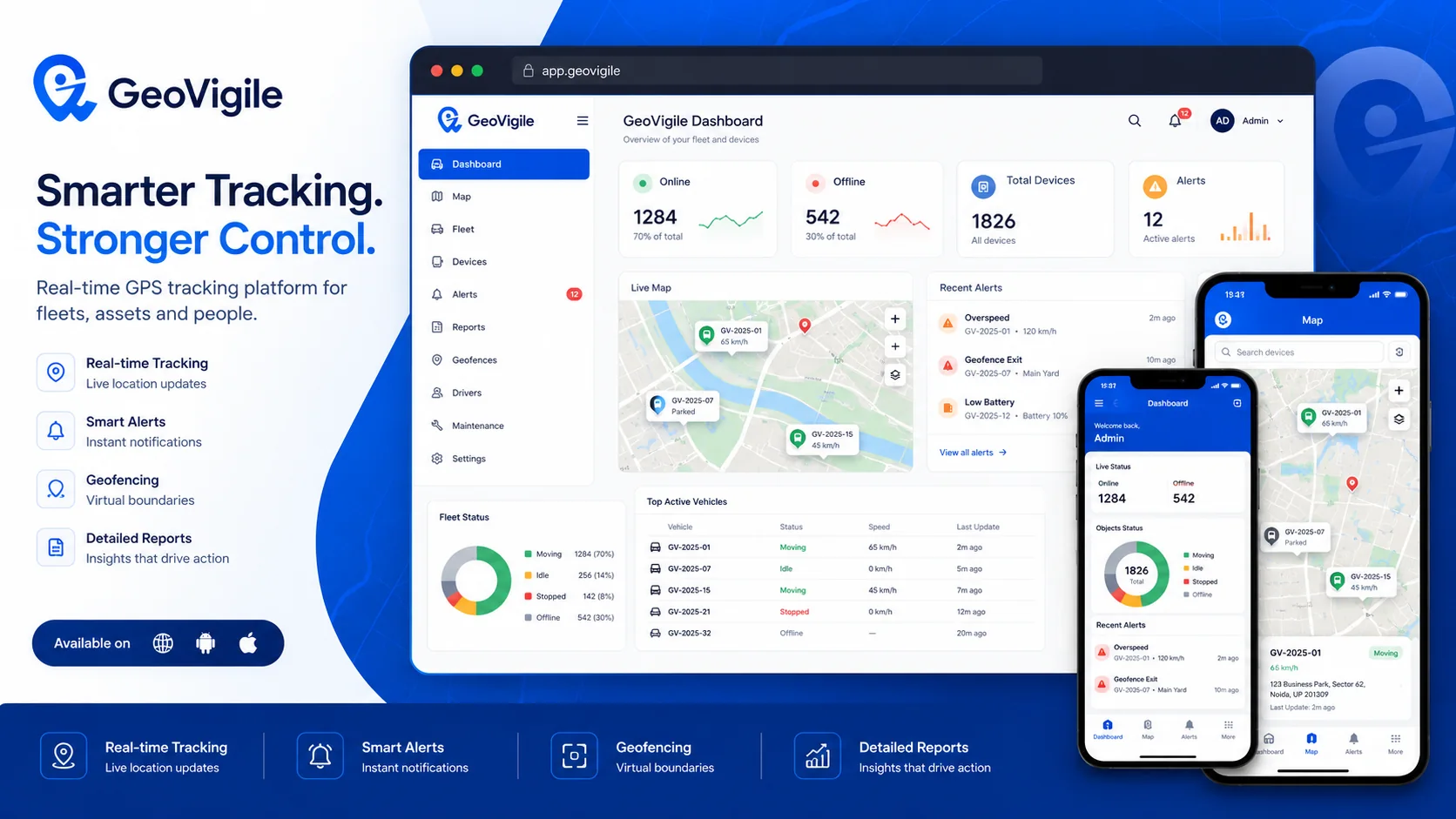
Turn tracking data into operational visibility.
GeoVigile combines connected devices, live maps, alerts, history and fleet tools around the requirements of each operation.
Real-time position
View the latest location and vehicle status on the map.
Route history
Replay movement, stops and operating sequences.
Geofencing
Define depots, sites, customer locations and sensitive zones.
Vehicle alerts
Receive speed, movement, power and geofence events depending on tracker.
Mobile access
View maps, alerts and essential information on mobile.
Enhanced security
Add protection functions only on compatible hardware and safe installations.
From field requirements to an operational tracking setup.
Define the use case
Vehicles, equipment, assets, operating zones and required visibility.
Select hardware
Validate network, power source, autonomy and required accessories.
Configure GeoVigile
Set users, alerts, zones, reports and permissions.
Deploy & monitor
Install, test and use tracking data in daily operations.
Explore related GPS use cases.
Frequently asked questions
Which GPS tracker works for a car in Madagascar?
A hardwired tracker generally suits regularly used vehicles, while a portable device can fit temporary installations. Network compatibility should be validated.
Can I review route history?
Yes, GeoVigile can display trip history and stops based on data received from the tracker.
Can I create geofences?
Yes. Virtual zones can generate entry and exit events.
Is remote engine cut-off available?
Only with compatible hardware and installation, using a safe procedure and in accordance with applicable rules.
Planning a GPS tracking project in Madagascar?
Tell us what you need to track, where it operates and which events matter. We can recommend a suitable configuration.