
GPS for mining and heavy equipment in Madagascar.
Keep visibility on heavy equipment, vehicles and valuable mobile assets across mining and industrial sites.
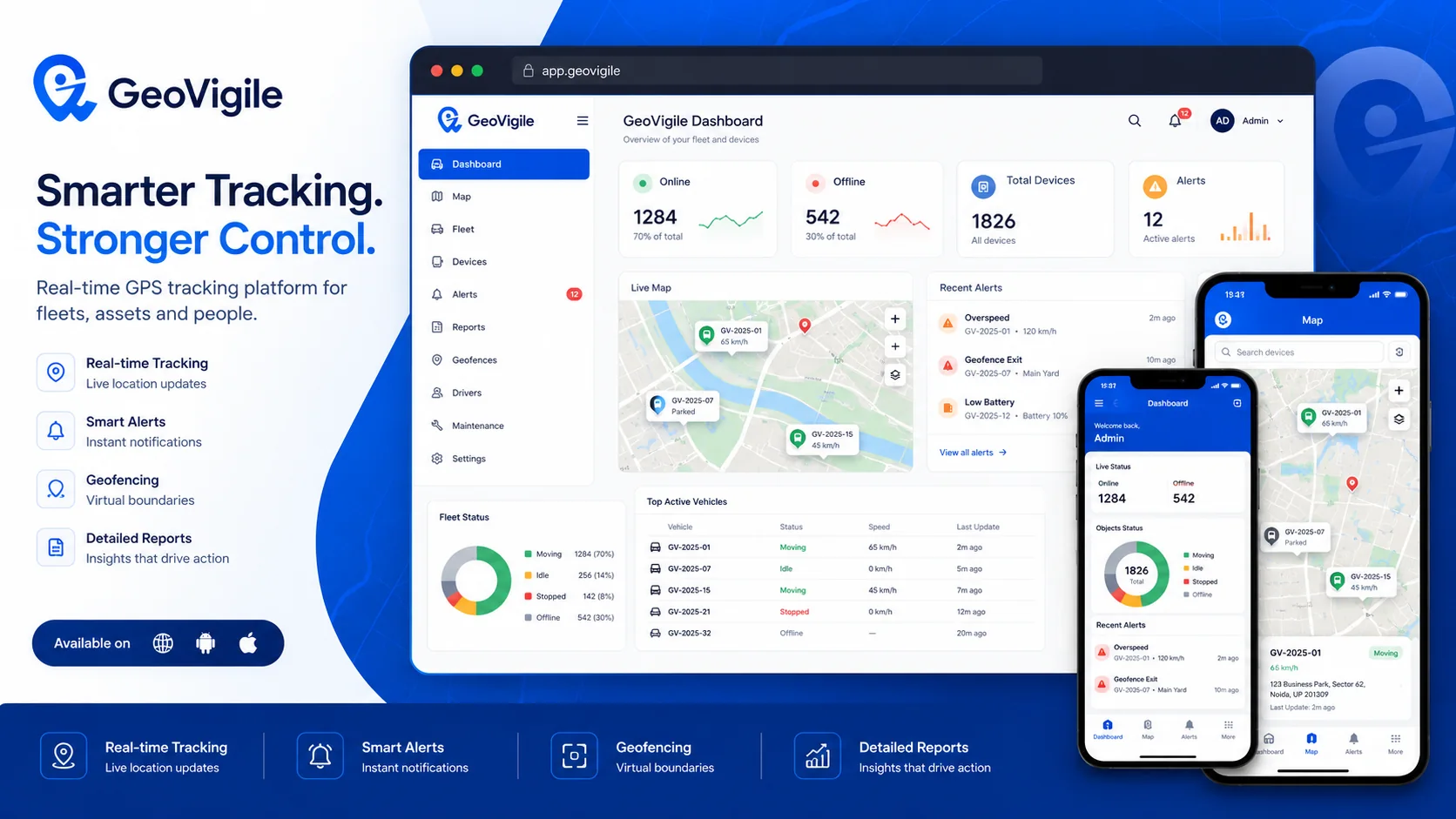
Turn tracking data into operational visibility.
GeoVigile combines connected devices, live maps, alerts, history and fleet tools around the requirements of each operation.
Heavy equipment
Track mining vehicles, machinery and mobile assets.
Operating zones
Define pits, depots, workshops and authorized areas.
Utilization
Analyze activity, movement and idle periods from available data.
Maintenance
Reminders, due dates and service history.
Rugged hardware
Select protected terminals for demanding equipment and sites.
Alerts
Movement, power, geofence and compatible device events.
From field requirements to an operational tracking setup.
Define the use case
Vehicles, equipment, assets, operating zones and required visibility.
Select hardware
Validate network, power source, autonomy and required accessories.
Configure GeoVigile
Set users, alerts, zones, reports and permissions.
Deploy & monitor
Install, test and use tracking data in daily operations.
Explore related GPS use cases.
Frequently asked questions
Can GPS trackers be installed on mining equipment?
Yes, provided hardware is selected for power, environment, vibration and network conditions.
What happens when mobile coverage is weak?
Live tracking requires mobile data. Some devices may store and later retransmit records, but behavior must be confirmed by model.
Can I create geofences inside a mining site?
Yes, multiple zones can be used to monitor different site areas.
Can maintenance be tracked?
Maintenance reminders and history can be configured for tracked equipment.
Planning a GPS tracking project in Madagascar?
Tell us what you need to track, where it operates and which events matter. We can recommend a suitable configuration.