
Truck GPS in Madagascar for transport and logistics.
Track trucks, routes, stops and fleet events to improve visibility across transport operations.
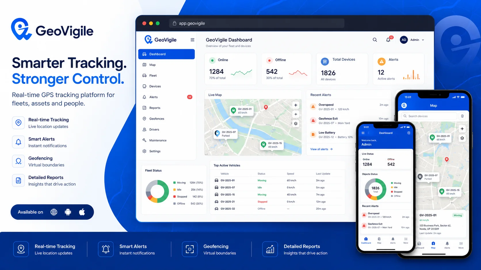
Turn tracking data into operational visibility.
GeoVigile combines connected devices, live maps, alerts, history and fleet tools around the requirements of each operation.
Trip tracking
Live map and route history for every truck.
Logistics geofences
Depots, customers, loading points and sensitive areas.
Stop analysis
Review stops and activity sequences from available tracking data.
Drivers
Assignments and driving indicators when supported.
Fuel monitoring
Compatible sensors or integrations for dedicated projects.
Maintenance
Reminders, due dates and service history.
From field requirements to an operational tracking setup.
Define the use case
Vehicles, equipment, assets, operating zones and required visibility.
Select hardware
Validate network, power source, autonomy and required accessories.
Configure GeoVigile
Set users, alerts, zones, reports and permissions.
Deploy & monitor
Install, test and use tracking data in daily operations.
Explore related GPS use cases.
Frequently asked questions
Is GeoVigile suitable for long-distance trucks?
Yes, but live data delivery depends on compatible mobile coverage along the route.
Can I receive an alert when a truck reaches a site?
Yes. Geofences can trigger entry or exit events.
Can fuel be monitored?
Fuel monitoring is possible with compatible sensors and terminals after technical validation.
Can I review stops?
Trip history can identify stop periods and movement sequences from available tracking data.
Planning a GPS tracking project in Madagascar?
Tell us what you need to track, where it operates and which events matter. We can recommend a suitable configuration.